Everything in the desert wants to harm you.
It’s a true statement. The animals, the plants, the… wildfires? Yeah… That’s one you wouldn’t expect to deal with in April, even in the Sonoran Desert.
April 19, Day 1
Ken, the awesome shuttle guy, dropped us off at the top of Montezuma Pass around 1:30 P.M., which we took a long, windy gravel road to get to. From there we hiked 2 miles south to the U.S./Mexico border to the official start of the trail and back up to the pass, crossed the road and off we went.
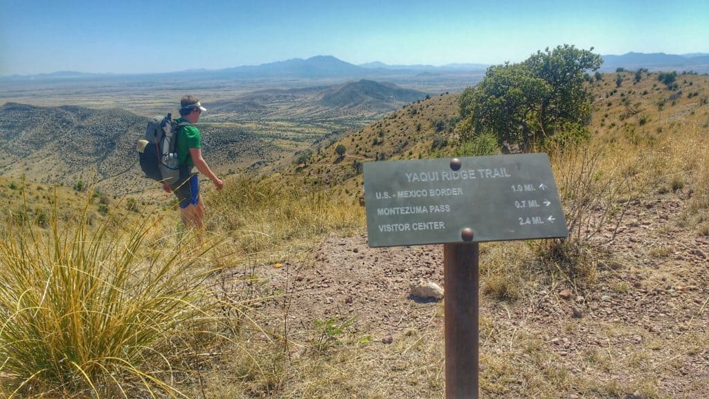
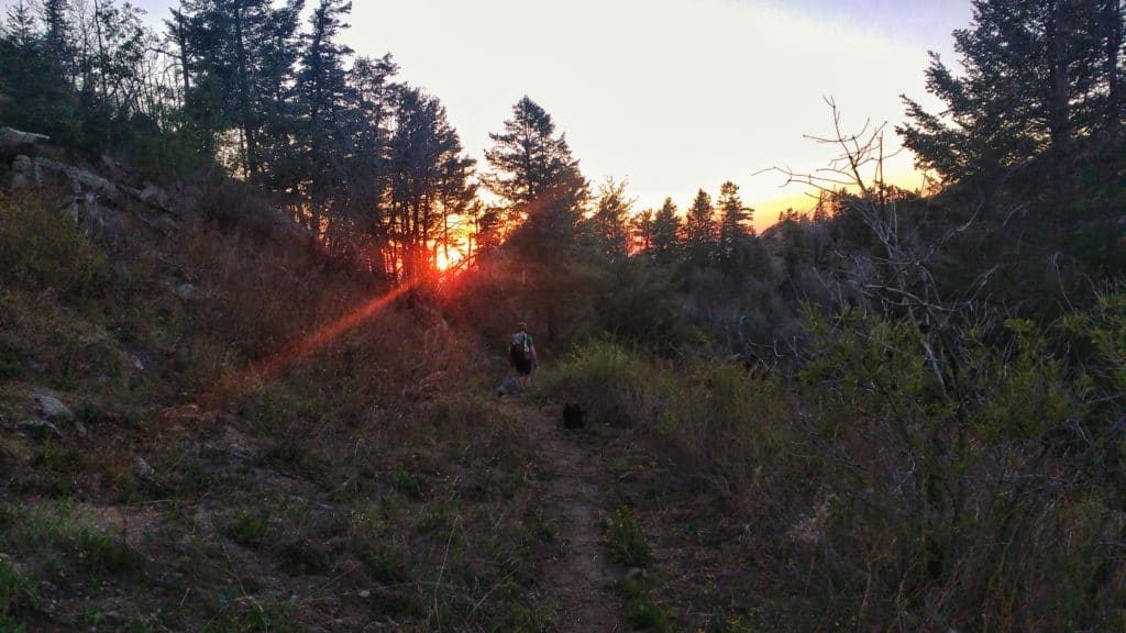
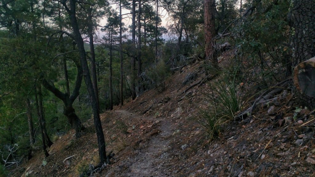
As we climbed higher in the Huachuca Mountains, the terrain changed from lowland plants to coniferous trees – we mountain kids felt at home.
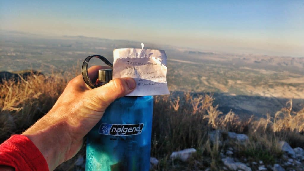
Feeling good, we did a quick peak bag of Miller Peak and found the AZT register there.
That night we made it to Bathtub Springs – I kid you not… that’s the name. And I kid you not… its a bathtub.
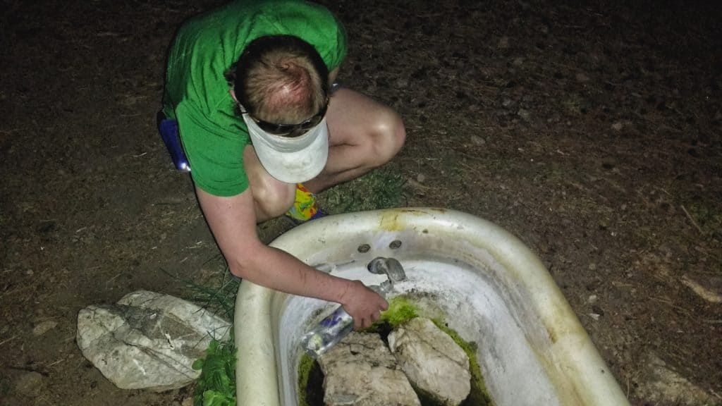
By the end of the day, including the 2 mile jaunt to the border and the climb off trail to Miller Peak, we logged 16 miles. Not bad for a half day of walking.
April 20, Day 2
Day 2 was the onset of shin splints in my left leg. I don’t know when they started, but I remember feeling a slight pain, which I dubbed “fatigue that I can push through and get over.” The highlight to day 2 was getting to Parker Canyon Lake around lunch time and taking an dip in the frigid water. It was only a mile off trail down to the lake. We washed our clothes, ate lunch and enjoyed the view. Not many times do you get such an opportunity!
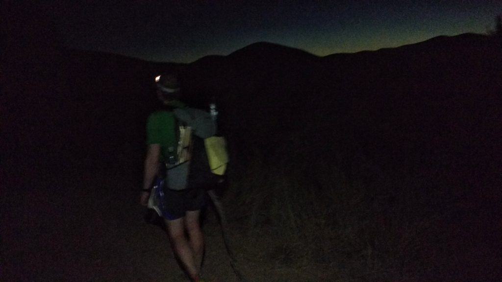
We hiked into the night a bit, though we stopped a little short of our intended goal, but still covered over 25 miles, which is the overall daily average we’re aiming for on this trip.
April 21, Day 3
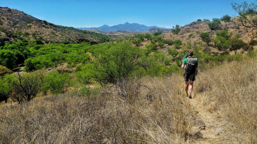
Day 3 I got a bit of a late start and Jordan went ahead to get some early morning miles in – I’m still honing in my morning routine and working on getting going quicker. I felt good. Shins didn’t seem to hurt too bad and I got almost 9 miles in before I stopped for breakfast (I always start out eating some kind of granola bar in the morning). We met up near a water source and took a quick break under a shade tree. Later on a friendly mountain biker from Lithuania passed us, not long after Jordan made the comment that we hadn’t seen anyone on the trail. He was also heading northbound with the goal of 70 miles/day. The views going through the Canelo Hills of rolling grasslands surrounded by peaks were beautiful.
We realized we wouldn’t be making it into Patagonia that afternoon, so we opted to camp a couple miles outside of town on a sandy river bed. The options for hanging a hammock around there were all eliminated by the presence of horse feces and flies under trees, so I cowboy camped under the stars – what a warm, beautiful night it was.
April 22, Day 4: Town Day!
We hiked into town and found a Mexican restaurant called the Wild Horse open at 7 am – Huevos Rancheros here we come! We hung out for a couple hours drinking coffee, eating a delicious breakfast and charging some of our devices while we waited for the grocery store to open up. We grabbed some food and random supplies and headed out of town, late morning. It was a long road walk up Temporal Road, where we had more human interactions in that afternoon than in the prior 3 days. More road walking made my shin splints act up worse.
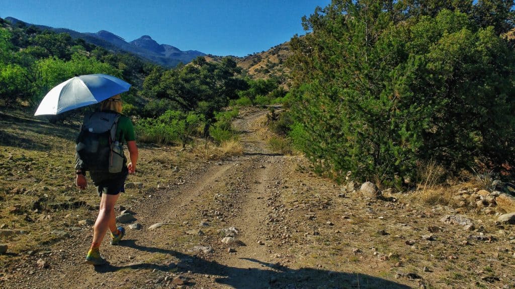
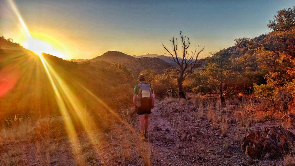
The road turned into a “trail”, which was mostly steep, loose rock. At the top, we got back on singletrack and descended into the canyon. This section was one of my favorites so far. Finally back into the trees. The springs and creeks offered crystal clear, fresh water. Looking through the trees I saw the last bit of sun illuminating the peaks and hills across the valley.
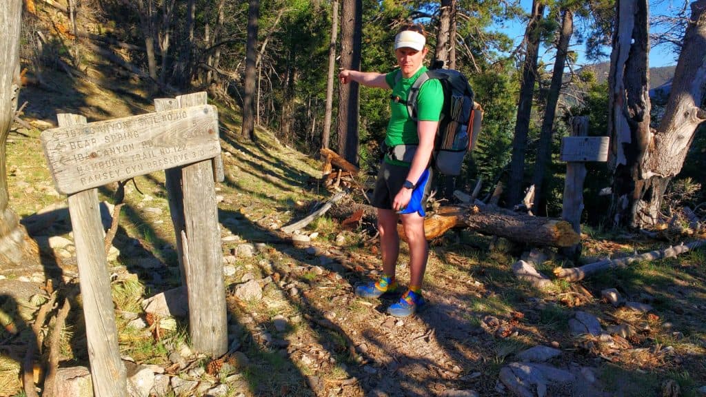
Jordan, feeling good, hiked faster up to this point than I did. He found a side trail after the “Bear Springs” sign that lead down to the springs and a beautiful creek with a pool. On the trail he made an arrow with sticks pointing to where he was. When I came to the sign, I shouted, but because of the babbling brook, he never heard me. Looking at the map, I saw the water source plotted further ahead. Perhaps he went to the icon itself. I proceeded forward, unknowingly kicking the stick and never seeing it. I came to an open area, very close to the stream. Thinking this would have been another place he stopped, I shouted again. Nothing. I proceeded forward, crossing the stream and turning onto the other side of the canyon. Not long after I realized I passed the “water source icon” on the map, as well as began to climb. But being at a high point, I shouted once more. Did I hear something? Strange. I thought for sure I heard Jordan respond, but it came from further down the canyon on the opposite side – that doesn’t make any sense. In a matter of minutes it went from visible light to complete darkness. Now we are separated, in the dark and I have no idea where he is. Concerned he was lost or worse injured, I began to run through all the scenarios. Why didn’t I see him? How could I have missed him? He wouldn’t have gone further, so where could he be? I settled my thoughts and tried to think logically. The only thing I can do is head back. So I began running back uphill, occasionally shouting. He heard me and yelled. Still uncertain if he was okay, I kept running – this must have really irritated my shin splints as the next morning was excruciating.
We met up and I was just thankful everything was okay. We talked through the experience, making a pact to communicate better using something that would certainly catch one another’s eye, such as a bright colored article of clothing. That night we camped at Bear Springs.
April 23, Day 5
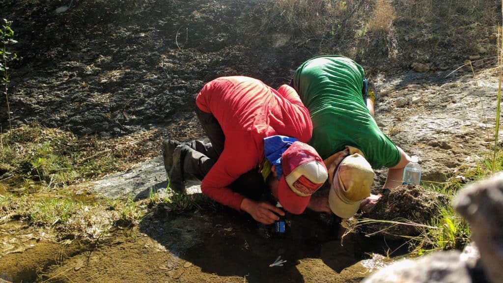
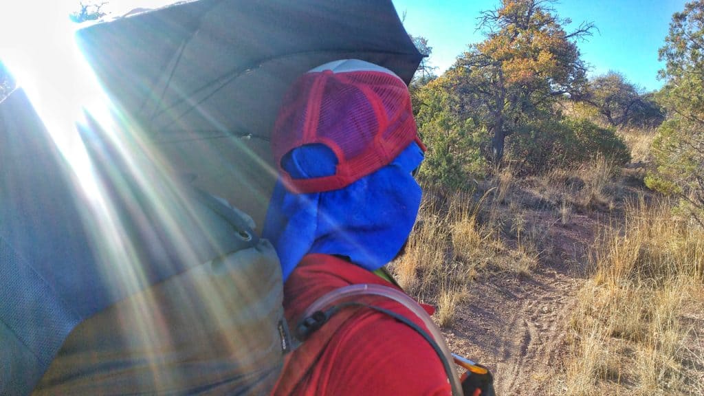
This was the day my shin splints really took off and I didn’t know what to do about it. I kept trying stretches, but the heat in the day only inflamed them more. The downhill is where I noticed it most, but eventually the trail mellowed out and gave my legs a break. We made it to Kentucky Camp where we visited with some folks and the volunteer caretaker. It was a great place to refill on water and take a lunch.
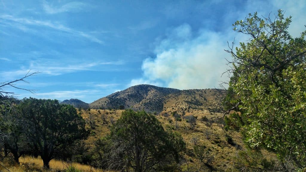
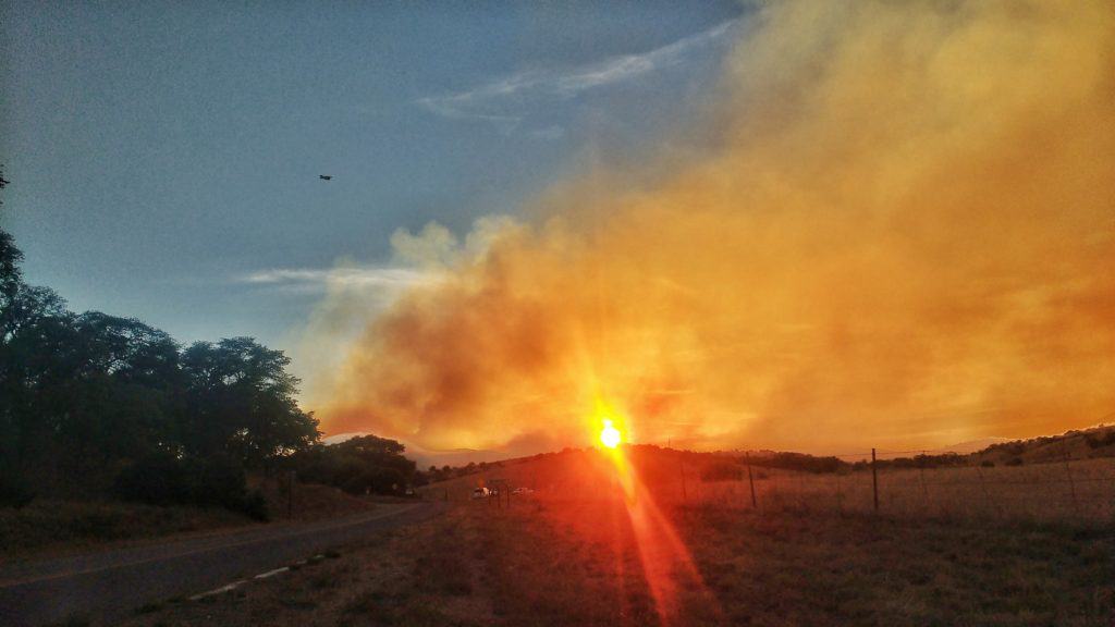
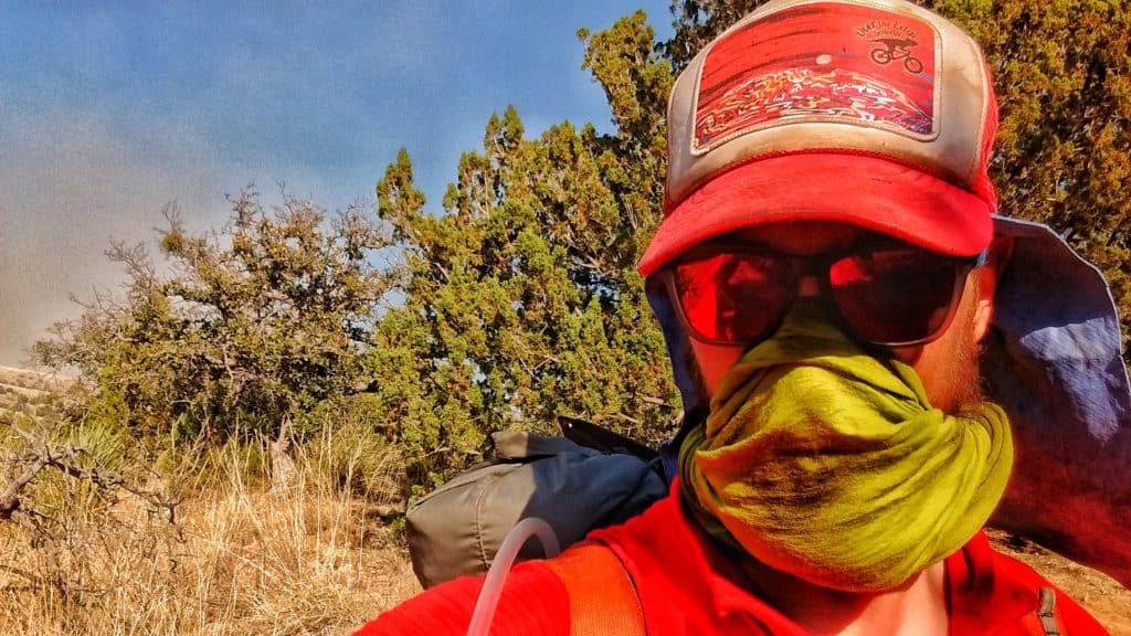
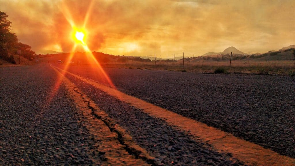
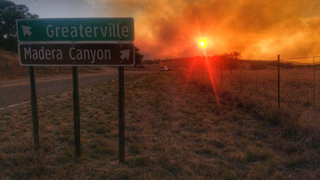
We left from there, hiking out on gravel roads, connecting with two-track roads. When we peaked on the horizon, we noticed a smoke plume out in the distance. Continuing on, the trail turned into singletrack, but seemed to get closer and closer to the ridge where just on the other side, more and more smoke was growing. We took note and began reaching out to people who might know more or who could do some further research for us. One of these people was Jordan’s wife, Jaimie. Another was Ken, the shuttle guy. He informed us the fire was only a few hours old and started around 11 A.M. that morning. Dozens of planes flew over us, dumping fire retardant on the other side of the ridge.
I hiked as fast as my legs would let me. A gravel road wasn’t far ahead. We just needed to get to there. This road was the Greaterville Road. Once we got to it, we headed down it one mile to Highway 62, where the road we were on was being blocked by a Forest Service truck. Safety. We still didn’t have a plan to get into town or where we’d stay, but at least we were near someone with communication to the outside world.
We made our way a little ways down the highway and I hiked up the hill to hang my hammock in ant-infested trees. The Forest Service guy was kind enough to give us some cold water and a bag of ice for my leg, which I began icing. Meanwhile, Jaimie kept looking for trail angels who could help us out. Maybe only an hour later, I got a call from Sandy, a trail angel, who offered to pick us up and a place to stay for the night. HALLELUJAH! Jaimie, you are awesome. Sandy, you are awesome. Then Ken rolled down the road. KEN?! He was on his way and wanted to make sure we were alright and had a ride and provided some cold drinks. Wow! Above and beyond. Thank you Ken, the shuttle guy!
April 24 – 25, 0 Days…
So here we are. April 25th. I’ve been trying my best not to stress my legs, to rest them and ice my shins. Tomorrow we hit the trail again, skipping the closed section due to the wildfire which is now currently at 18,000 acres. This was no small thing and we are so lucky to have gotten out when we did, where we did. It will be challenging to take it easy – we both are so used to pushing hard and logging as many miles as possible. I’ll start out at 10 miles for the first 2-3 days and go from there.
Thanks for following – for live constant updates, search #DestinationAZT on Instagram and Facebook.
Be sure to check out Jordan’s blog and daily musings as we hike the trail too.
Until next time… happy trails.

Keep on the move (after you get your shin splint issues under control)! Thanks for sharing while on the trail.